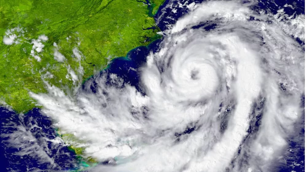
Forecasters predict that Hurricane Lee, currently swirling in the Atlantic as a Category 2 storm, will intensify into a major hurricane that could eventually become a Category 5 storm.
The National Hurricane Center (NHC) said that Lee is expected to rapidly intensify into an “extremely dangerous major hurricane” by Friday — meaning maximum winds would surge 35 mph in 24 hours or less. The NHC said that large ocean swells are expected to reach the Lesser Antilles by Friday and the U.S. and British Virgin Islands, Puerto Rico, the Bahamas, Bermuda and Hispaniola by the weekend, adding that “these swells are likely to cause life-threatening surf and rip current conditions.” The latest forecasts show Lee will “remain a very strong major hurricane through the weekend,” according to the NHC, with environmental conditions looking favorable for Lee to strengthen into a Category 5 hurricane with winds up to 160 mph by Saturday morning.
So far, there’s no direct threat of landfall and officials have not issued any storm or hurricane watches or warnings for places that could be in Lee’s path, but the hurricane center said “interests in the Leeward Islands should monitor the progress of Lee.” The forecast track indicates that .the Leeward Islands, where the Caribbean and Atlantic meet, should stay alert. The Leewards include the Virgin Islands, Anguilla, Saint Martin and Saint Kitts.
Hurricane Lee is not currently forecast to impact the United States, but its long-term track remains unclear. Meteorologists will continue monitoring the storm for signs it could move off its path over the open ocean and turn toward the mainland U.S. coast.
Editorial credit: Harvepino / Shutterstock.com